mapping and surveying
At Limitless Drone Solutions, we redefine mapping and survey through cutting-edge drone technology. With our 3D modeling and 2D mapping services, we capture every detail with precision, making complex landscapes easy to understand. Our national service area ensures that wherever you are, our expert drone inspections, photography, and thermal imaging are just a call away. Experience the limitless possibilities of aerial imaging and see how we can elevate your project to new heights!
Transforming Perspectives
2D and 3D Modeling & Authomosaic Mapping
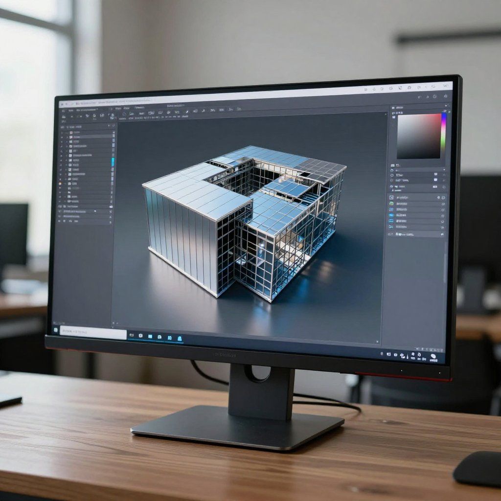
Precision in Every Detail
Our 2D and 3D modeling services provide accurate representations of your site, ensuring you have the data you need for effective decision-making. With advanced technology, we create detailed models that enhance your project planning.
Learn More
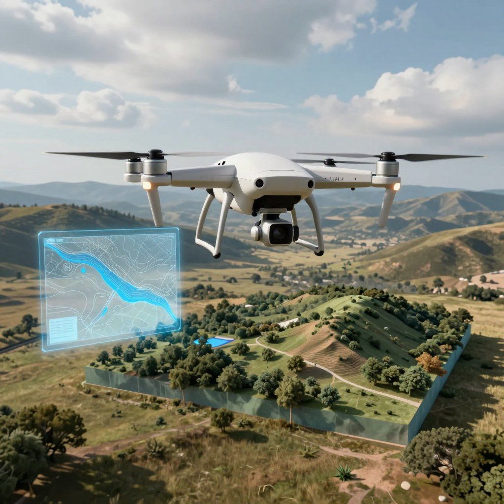
Innovative Mapping Solutions
Authomosaic mapping combines aerial imagery with cutting-edge software to produce high-resolution maps. This technique is perfect for surveying, construction, and environmental monitoring, giving you a comprehensive view of your project area.
Discover Mapping
Streamlined Workflow
Our modeling and mapping services streamline your workflow by providing precise data quickly. This efficiency allows you to focus on what matters most—bringing your project to life.
Get Started

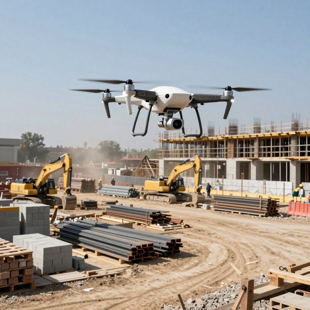
Tailored Solutions for Every Industry
Whether you're in construction, agriculture, or environmental management, our tailored 2D and 3D modeling and mapping solutions meet your specific needs, ensuring you have the insights necessary for success.
Contact Us